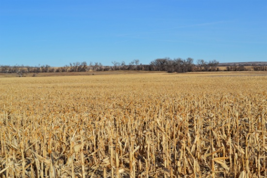
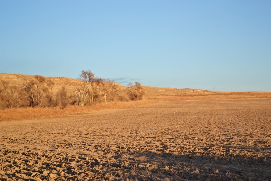
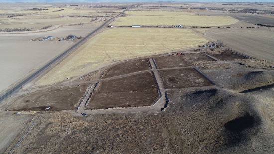
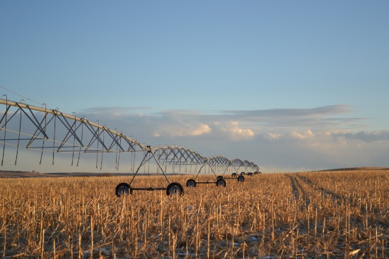
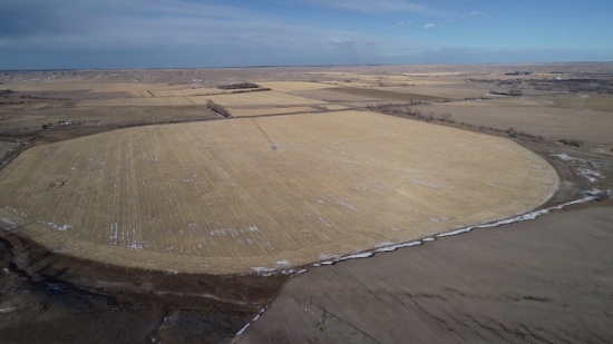
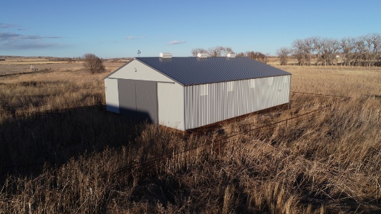
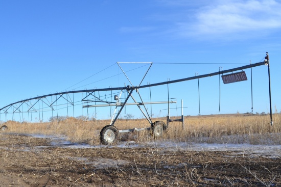
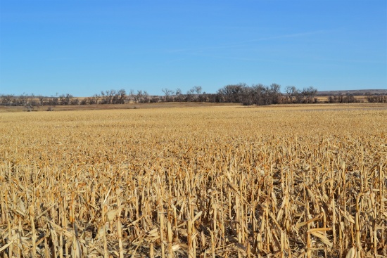
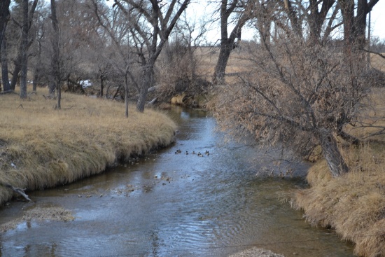
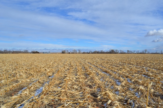
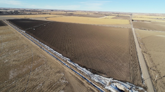
1855 Acres Morrill County Nebraska Land
1855 Acres Morrill County Nebraska Land
See Special Terms for additional fees
Description

Section 6 - 119.11 Acres
Lot # 6 (Sale Order: 1 of 12)
Quantity: 119
Section 8- 71.1 Acres
Lot # 8 (Sale Order: 2 of 12)
Quantity: 71
Section 9 NW Quarter - 158 Acres
Lot # 9NW (Sale Order: 3 of 12)
Quantity: 158
Section 9 NE Quarter - 156.5
Lot # 9NE (Sale Order: 4 of 12)
Quantity: 156
Section 9 SE Quarter - 154.3 Acres
Lot # 9SE (Sale Order: 5 of 12)
Quantity: 154
Section 11 - 79.14 Acres
Lot # 11 (Sale Order: 6 of 12)
Quantity: 79

Section 17 - 77.93
Lot # 17 (Sale Order: 7 of 12)
Quantity: 78
Section 18 - 546 Acres
Lot # 18 (Sale Order: 8 of 12)
Quantity: 546
Section 20 - 160 Acres
Lot # 20 (Sale Order: 9 of 12)
Quantity: 160
Section 24 - 153.77 Acres
Lot # 24 (Sale Order: 10 of 12)
Quantity: 154
Section 26 - 75 Acres
Lot # 26 (Sale Order: 11 of 12)
Quantity: 75

Section 31 - 104.14 Acres
Lot # 31 (Sale Order: 12 of 12)
Quantity: 104
